Svartisen glacier


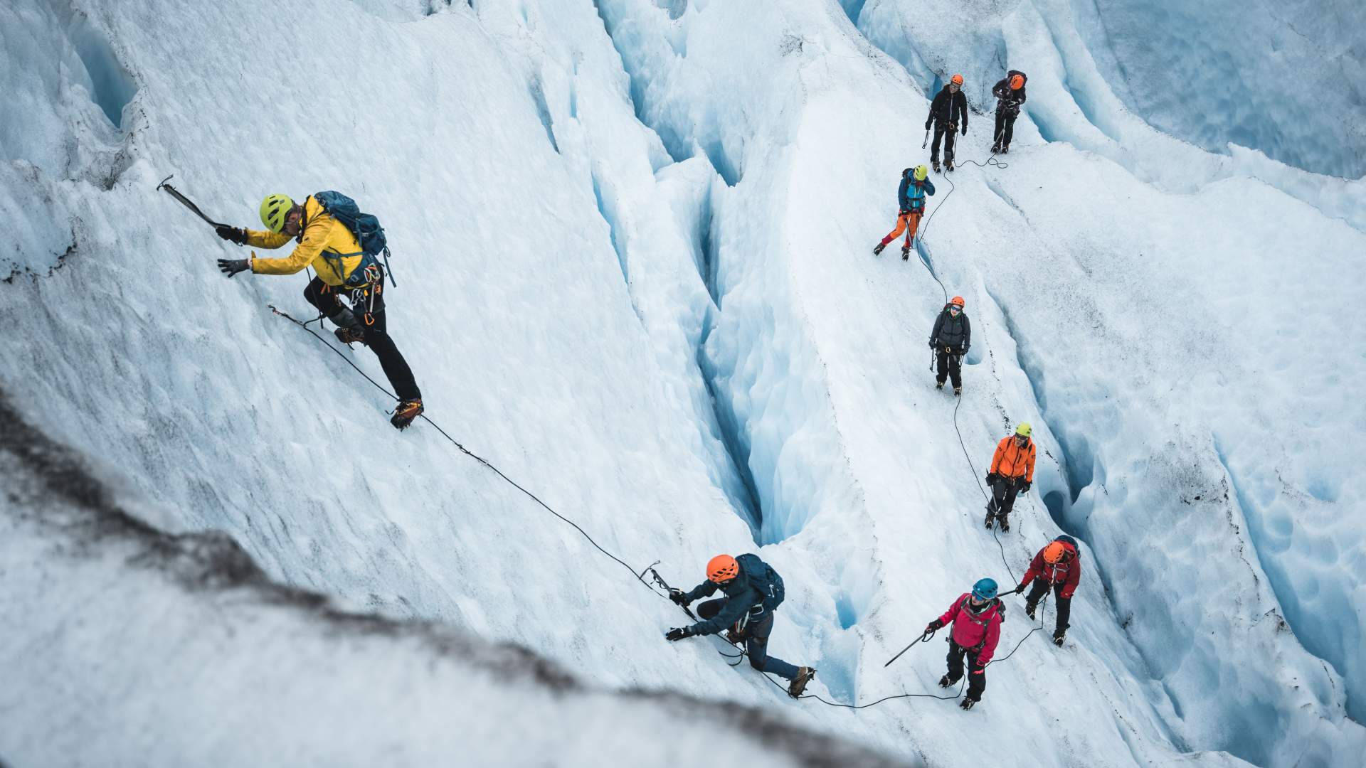
Svartisen is the second-largest glacier on mainland Norway, and 60 glacier tongues extend into the surrounding valleys. One of the most visited is Austerdalsisen. Have an adventure and hike beside the Svartisvatnet lake, the trail is 18 km in total and is in beautiful enviroment. Or take the shuttle boat across the Holands-fjord. The boat ride are followed by a 3 km hike up to the glacier’s edge.
Svartisen - Austerdalsisen
Austerdalsisen glacier is normally reached via a 20-minute boat ride across Svartisvatnet, 32 km north of Mo i Rana. Svartisen is Norway’s second-largest glacier, it has 60 glacier tongues and covers a full 370 km2. At just 20 m above sea level, it is the lowest glacier in mainland Europe, making it easily accessible for hikes and nature-based experiences.
Svartisen - Engenbreen (by the coast)
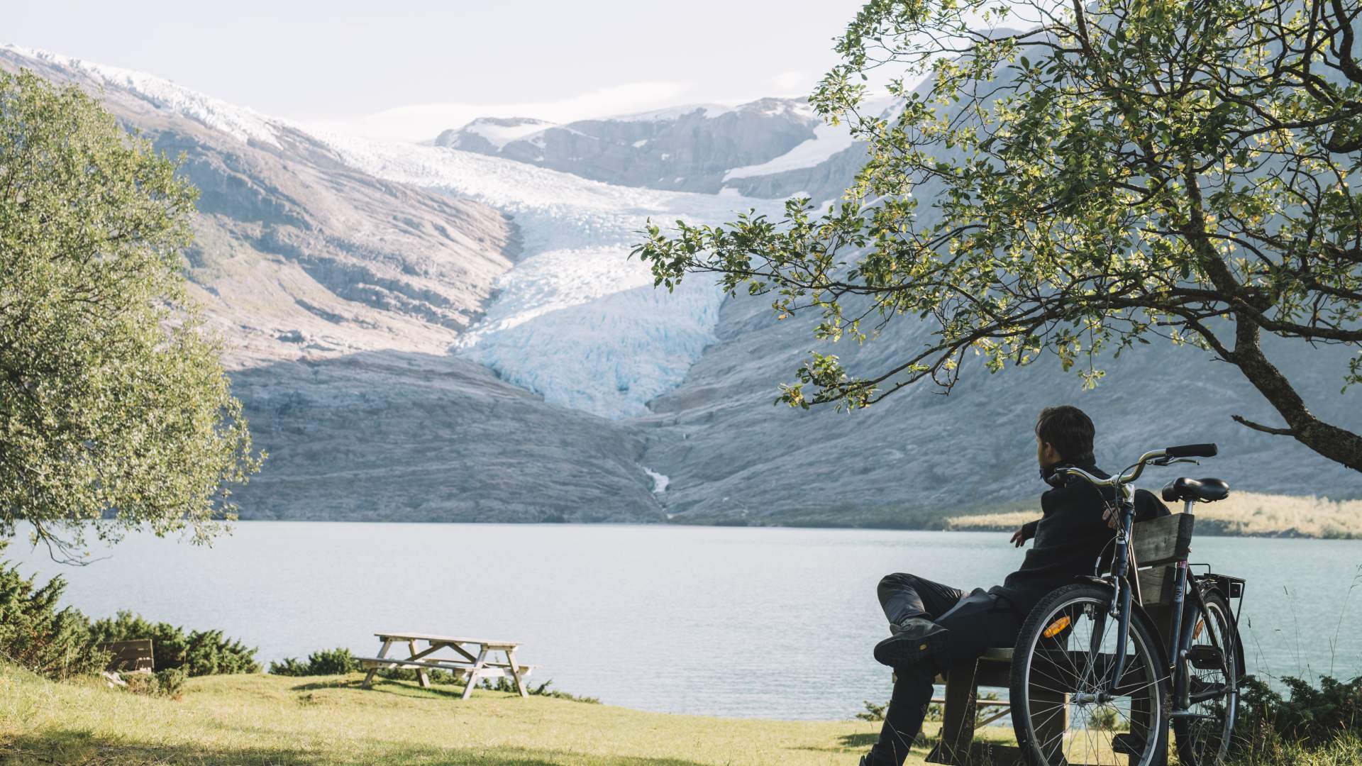
Svartisen can also be seen from the coast. The Engenbreen glacier tongue is situated along the Coastal Road (Fv17) in Meløy municipality and can be seen from the road.
Fonte: Helgeland Reiseliv as
Svartisen glacier